风暴预警
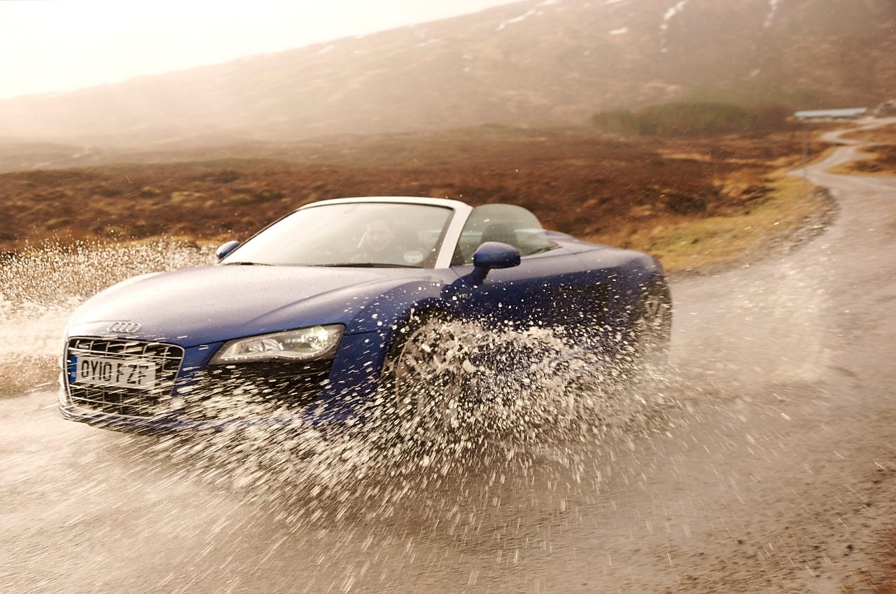
我们此行的目的便是深入英国最潮湿的地区,探寻欧洲最好的公路。
达尔尼斯地处偏远,即便从事山地搜索和抢险救援的专业人员也鲜有耳闻。 “达尔尼斯? 在什么地方?” 自我提示:千万不要迷失在达尔尼斯。 对于这里,我们的卫星导航系统也完全无济于事。 因此,我们一大早便将达尔尼斯的 GPS 精确坐标输入了导航系统,然后像所有的资深车迷一样,在接下来的几天中全身心地投入到驾程之中: 扎紧自己的围巾,一路奔向充满荣耀的苏格兰高地。
暴雨前行
根据英国气象局的资料显示,达尔尼斯是全英最潮湿的地区。 它拥有年均降水量 3.3 米的独特自然条件。 值得庆幸的是,你还能在这里发现众多只有在高地深处才能欣赏到的壮观景致。
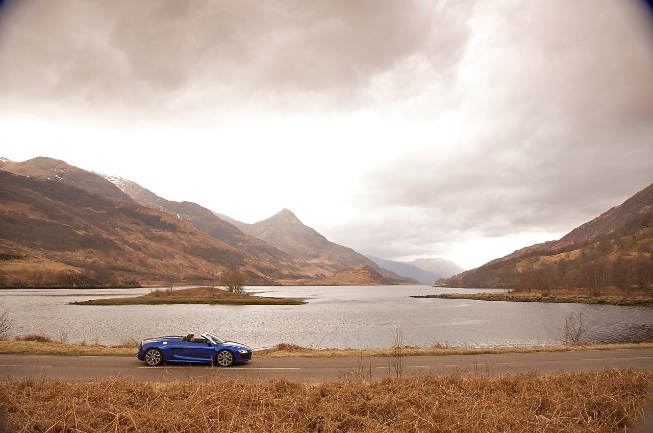
这里的道路并未因地处偏远而年久失修,沥青铺就的路面片片相连,覆盖整个山谷地区,然后笔直地插入巍峨的群山之中,沿着山脊不断向前延伸。 作为欧洲最令人称赞的驾驶目的地之一,苏格兰高地的公路和生态系统全年无歇地面向公众开放。

当我们最终抵达这里,首先映入脑海的问题便是“谁来测量达尔尼斯的降雨量?” 除了遭遇一群好奇的小鹿之外,我们没有发现任何人的踪迹。 根据地图显示,周边被苏格兰国民托管的格伦科山谷和达尔尼斯山脉绵延 5,800 公顷,而达尔尼斯就位于这片地区西南边缘的低洼处。
达尔尼斯距离 A82 公路西侧仅数英里之遥,两边分别雄踞着威廉堡和克里安拉利。 去往埃蒂夫峡谷的方向设有路标,行进在这条蜿蜒曲折的无名公路上,仿佛在与山谷中的埃蒂夫河竞速。 得到雨水充分浇灌的焦橙黄色石南为周围景致平添几分别致的色彩。 大雨不断倾斜而下,山腰瀑布的飞流也较以往更为壮观。 在狂风裹挟下的雨滴几乎与地面平行飞舞,河流汹涌咆哮,湖水拍打堤岸,击起高高的浪花。
无果之路
即便是糟糕的天气也不会使我们气馁;享受这些人迹罕至的公路才是我们的终极目标。 A82 公路便是激发汽车最大潜能的完美之选。 这里适合高速行驶,视野开阔,并拥有得天独厚的高度落差,完全能使你在安全的环境中体验到驾驶的极致乐趣。
此时此刻,你一定会忘记这里在购物和交通上的不便。 高地地区的人烟稀少似乎令人难以置信。 能够独享这些公路和周边美景使这片地区成为了驾驶爱好者在欧洲的隐秘天堂。

估算壳牌 V-Power Nitro+ 用量
虽然只是一句提醒, 但请务必随时关注你的油表。 最近的加油站位于格拉斯哥或威廉堡,因此如果你是一名旅客,在继续向北踏上历险征途之前,请务必 在格拉斯哥 为你的爱车加满我们最出色的燃油产品——壳牌 V-Power Nitro+。
当我们提出要加更多燃油时,加油站柜台后的女士不禁诧异地询问我们的目的地。 “达尔尼斯?” 她反问道, “从未听说过。” 当我告诉她这是英国最潮湿的地区时,苏格兰人与生俱来的荣誉感使她立刻表示抗议。“这是不对的! 威廉堡才是。别的地方都是以毫米为单位统计雨量,而我们这里却是用英尺计值!”
我们选择在英皇宫 (Kingshouse) 稍事逗留,这是一座古老的城堡,阴郁的煤火和年代久远的城墙仿佛正在诉说这里发生的奇闻异事,让人不由得毛骨悚然。 这里制售的烤饼可以供养整支军队,但品尝者却寥寥无几。 请注意,深秋或早春是拜访这里的最佳时节。届时,您可以在欧洲最令人激动的完美公路上任意释放自己的驾驶激情。
再次感受激情时刻 此时此刻,谁会在乎风雨肆虐前的乌云压境?
为你的爱车加满专门抵御积碳和侵蚀的壳牌 V-Power Nitro+,开始一段不同寻常的梦幻征途。
*实际收效可能因车辆型号、使用年限、驾驶条件和驾驶方式有所差异。

